The Work We Do
Capacity Improvement Projects
Laguna Creek Capacity Improvements
Several locations along Laguna Creek are narrow and constrict water flow. Starting at the downstream sections of Laguna Creek near the Bay, the District is systematically making improvements that will enable the creek to handle 100-year stormwater.
In 2016 and 2017, the District designed a project with two phases. In the first phase, two new culverts will be installed under I-880, close to the Fremont Boulevard/Cushing Parkway exit. The project will allow more stormwater to flow under the I-880 freeway in Laguna Creek, thereby reducing flood risk in the surrounding area. To help pay for construction (which should begin in summer 2019), the District applied for and received a $3 million-dollar grant from FEMA.
In the second phase, about half a mile of the Laguna Creek flood control channel, will be widened from about 1,200 feet downstream of the Cushing Parkway to Starboard Drive upstream. An addition reinforced concrete box culvert will also be installed at the Cushing Parkway crossing. The existing maintenance access roads on both sides of the channel will be lowered and channel walls will be constructed to enable increased stormwater conveyance. Construction is estimated to begin in June 2019 and completed in 2021.
Davis Street Pump Station
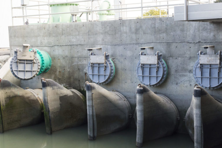
Higher sea levels and stormwater from heavy rains cause frequent flooding along the western end of Davis Street, west of Interstate 880 in San Leandro. The old gravity drainage system couldn’t handle the flow during high tides and storms, so a new pump station was critically needed to protect the nearby community. Pump stations help minimize flooding by pumping water from underground pipes to a higher elevation, so the water can then flow by gravity to the San Francisco Bay.
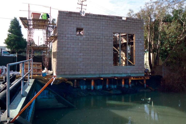
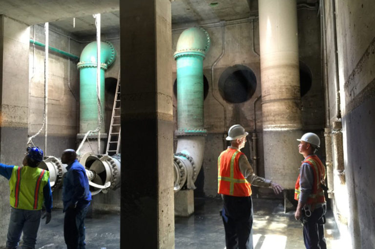
In 2013 and 2014, the District built a new pump station at the end of Davis Street on land that is owned by the city of San Leandro. The station consists of two structures: an underground building that houses four pumps and a trash rack, and an adjacent above-ground building with electrical controls.




Mission Creek
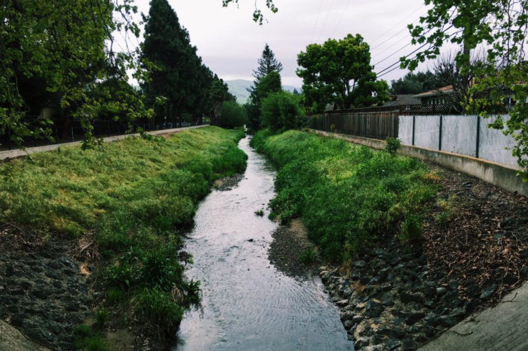
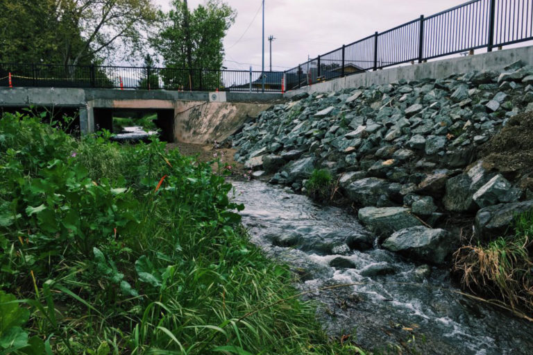
Mission Creek (Line L) is the recipient of stormwater flows off the flanks of Mission Peak. The portion of Mission Creek that flows through Fremont’s Gomes Park and nearby neighborhoods into Lake Elizabeth was originally designed to handle 15-year stormwater flows. Over time, the creek banks experienced severe erosion, causing sediment to flow into Lake Elizabeth. Additionally, the Fremont Park Golf Course experienced regular flooding.
To remedy this and ensure that Mission Creek could accommodate a 100-year storm, the District widened the existing creek floodplain terrace, added culverts at a street crossing, and enlarged portions of the channel cross section. Where possible, non-native and deteriorating trees were removed and replaced with native vegetation. Now, nearby property owners are not required to buy costly flood insurance, and as an added bonus to the community, a beautiful bike and pedestrian pathway was installed along this revitalized creek.
Glen Eden Detention Basin
In Hayward’s Glen Eden neighborhood, the existing 54-inch-diameter pipe (called “Line A-5”) which runs from Park Arroyo Place to the Besco Pump Station, couldn’t handle the typical volume of stormwater flow. The simple solution of installing a larger drainage pipe wasn’t possible due to limited access through private properties and city streets.
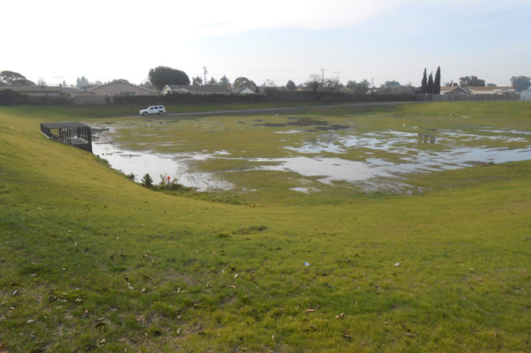
The District’s creative solution was to build a detention basin to temporarily hold excess water during heavy rainstorms. The two-acre detention basin was built at a playing field near Mt. Eden High School that is owned by the Hayward Unified School District. The entire field was dug out and deepened to hold up to 3 feet of stormwater. The basin was then graded so that once the Hayward Unified School District completes its improvements it can be used as an ADA-compliant soccer field when dry.
Knight Street Culvert Upgrade
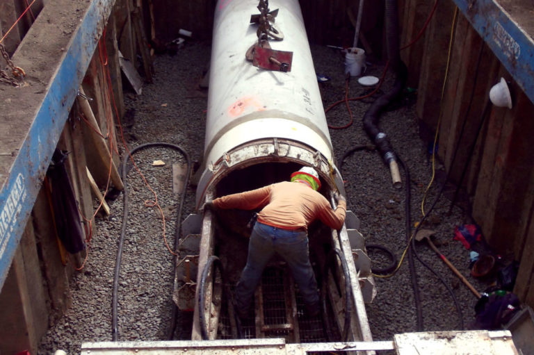
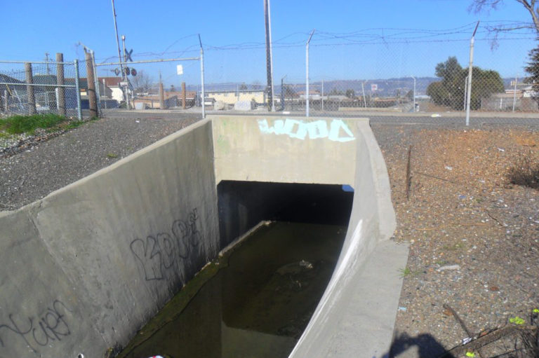
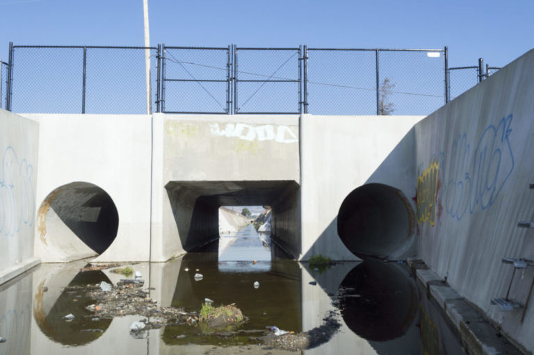
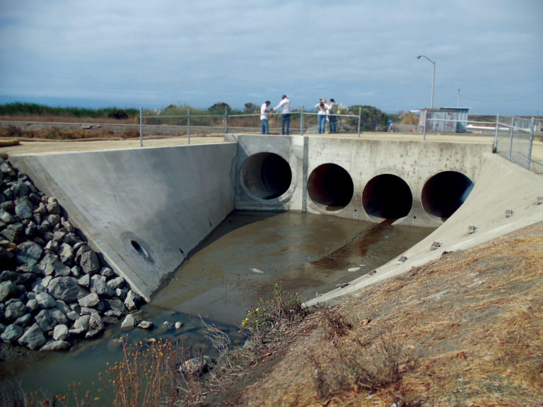
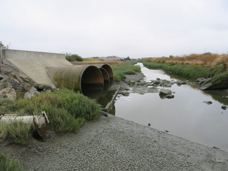
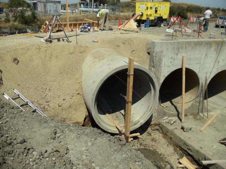
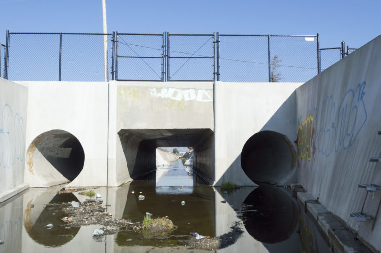
As a result of a hydraulic study completed in September 2011, the District determined that an existing culvert at Knight Street in Oakland was not large enough to convey a 100-year storm flow along the Stonehurst Creek channel. To increase the amount of flow in the channel, the District installed two 78-inch reinforced concrete pipes adjacent to the existing box culvert. The additional pipes will minimize the potential of flooding in the adjacent Oakland neighborhoods. Construction was completed in October 2013.
Pump Replacement at Eden Landing Pump Station
The District upgraded the Eden Landing Pump Station, which handles stormwater from a 308-acre light industrial and commercial area south of the San Mateo Bridge in Hayward. Runoff is collected in pump station storage basins and then pumped to Mt. Eden Creek, which drains to the San Francisco Bay.
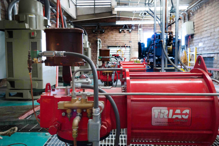
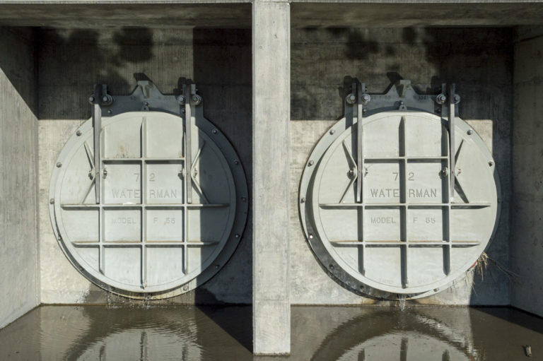
The pumps were so old that repair was no longer feasible. Five new pumps were installed—four of which are electric—to replace old ones powered by diesel fuel. In order to accommodate the large size of the electrical components and control panels, the District purchased a prefabricated building to house all components.
A new emergency generator was also constructed as part of the backup system. Construction was completed in November 2013.


Line M Channel Improvements
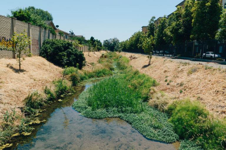
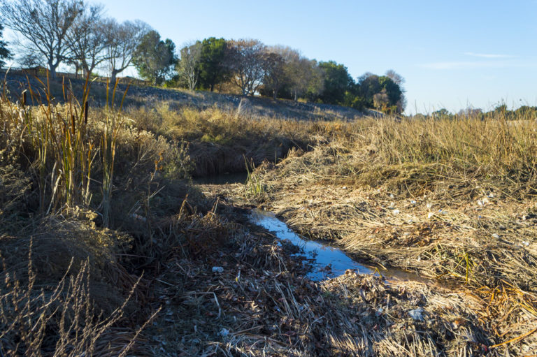
The Line M flood control channel runs through parts of Union City and transports stormwater to Alameda Creek. A hydraulic study performed by the District showed that water could overtop sections of the Line M banks during major storms. To proactively increase flood control and meet a 100-year flood level, the District made several improvements.
Silt deposits had restricted the amount of stormwater the channel could carry. The District dredged roughly 4,700 feet along Line M between Royal Ann Drive and the Union Pacific Railroad and BART tracks east of the Union City BART station. After desilting was completed, channel banks were planted with 73 new trees and native vegetation to create an attractive natural setting for the community.
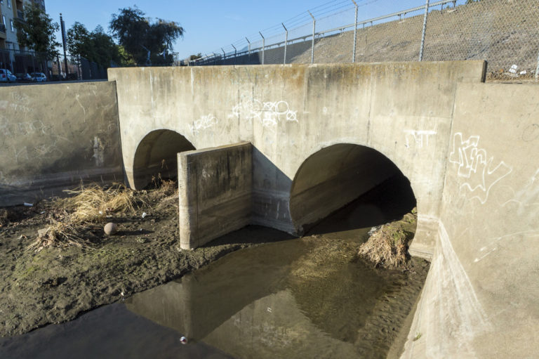
Additionally, a 225-foot section of the Line M channel was widened between Perry Road and the outfall at Alameda Creek and two 72-inch pipes were installed to carry more stormwater. Construction of both projects was completed in October 2012.
Castro Valley West Bank Reinforcement
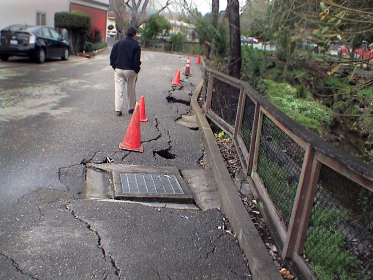
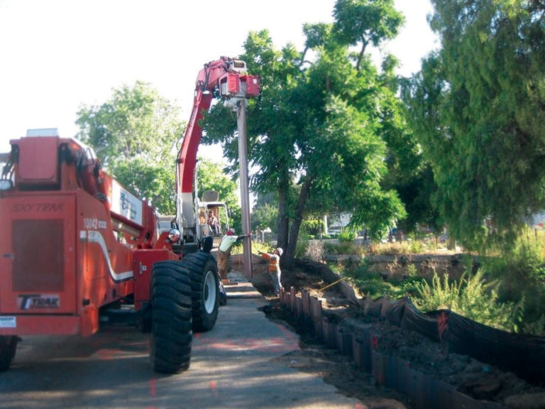
A section of Castro Valley Creek’s west bank, located roughly 100 feet downstream of Castro Valley Boulevard, had eroded so much that it cracked the pavement of a nearby parking lot. Between July and September 2012, the District installed steel sheet piles to stabilize the bank. After construction was completed, the parking lot was re-paved and the area was seeded with native grasses.

Lines N & N1 Channel Improvements
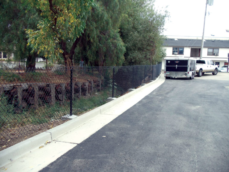
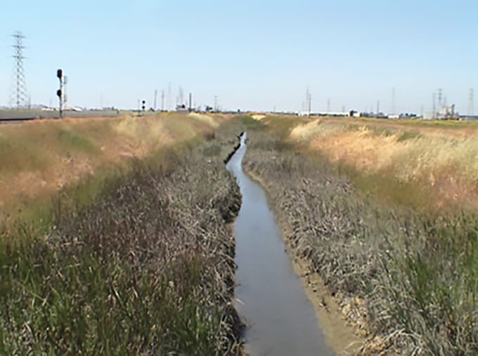
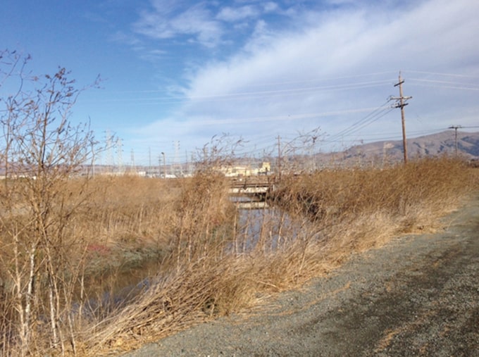
The Lines N and N1 flood control channels contained large silt deposits carried by the small creeks that drain into them. The sediment impeded the flow of stormwater from the Lines N and N1 channels into Mowry Slough, located southwest of Automall Parkway in Fremont. Mowry Slough drains into the Bay.
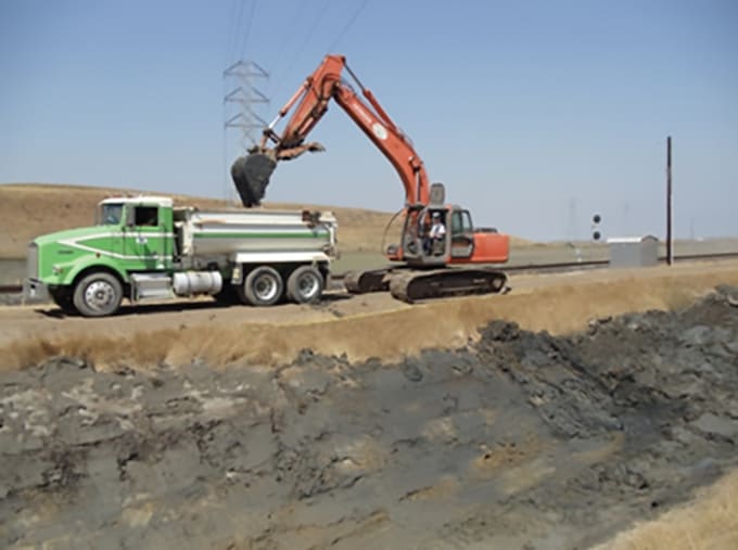
To remove the sediment along 5,400 feet of Line N and 1,200 feet of Line N1, the District dredged the channels in a procedure called “desilting.” After being desilted, the channels were once again able to convey the amount of stormwater as intended when they were first designed.
Before the project began, the District made special arrangements for the endangered Salt Marsh Harvest Mouse, which eats pickleweed. The pickleweed had to be removed by hand along the channel sections to be desilted, while the mice were encouraged to relocate to nearby undisturbed habitat with pickleweed.
Between June and October 2012, about 25,500 cubic yards of silt were removed from the channels. When the desilting process was completed, the area was reseeded with pickleweed to restore the mouse habitat. The dredged silt was cleaned and stored by the District for beneficial reuse at a future date.
Line A Channel Upgrades
Line A is a primary flood control channel in Hayward that runs 4.5 miles from Amador Street to the Bay. Where the Line A channel meets the Line E channel just west of Chabot Boulevard in Hayward, the District installed a new 72-inch concrete pipe to increase the amount of stormwater the channel can carry. The pipe was installed between April and September 2013. This Line A upgrade was part of the 2005 Zone 4 Master Plan to enable the creek to handle 100-year storm events.
Additionally, the District took procedural steps to remove the surrounding neighborhood from a Federal Emergency Management Agency (FEMA)-designated floodplain. Property owners in the area are no longer required to carry flood insurance.
Stonehurst Creek Crossing
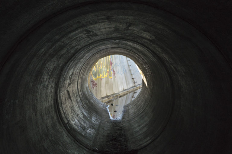
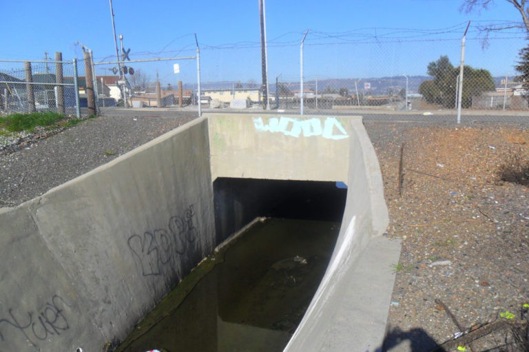
As a result of a hydraulic study completed in September 2011, the District determined that an existing culvert at Knight Street in Oakland was not large enough to convey a 100-year storm flow along the Stonehurst Creek channel. To increase the amount of flow in the channel, the District installed two 78-inch reinforced concrete pipes adjacent to the existing box culvert. The additional pipes will minimize the potential of flooding in the adjacent Oakland neighborhoods. Construction was carried out between May and October 2013